Absorption Area in Kemang must Be Arranged
Reported by Jhon Syah Putra Kaban | Translated by Rizky Mawardi
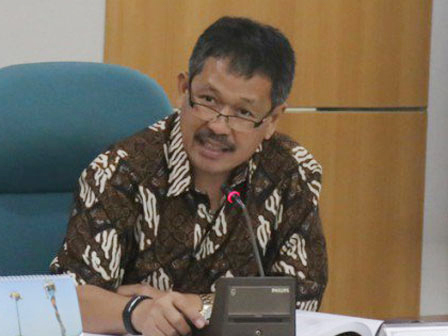
Jakarta City Council Commission B Member, Prabowo Soenirman, said several buildings in Kemang, South Jakarta have already chaotic and ignoring spatial space planning. It can be seen from the Krukut riverbank.
Krukut river width is less than three meters. This causes flood
“Krukut river width is less than three meters. This causes flood,” he said, Sunday (9/11).
According to the space spatial planning in 1965, South Jakarta area was designed as absorption area, not for development. He suggested the area design must be returned.
Krukut River Normalization Obstructed by Land Buying“Certificate ownership should not disturb the process. Riverbank must clear from buildings,” he added.
The development of Jakarta, he continued, should be managed in west and east area.
“Since 1983, the area has been developed by 26 percent. 20 years later, it becomes 72 percent. Higher than east side development,” he closed.


