Monitor Congestion, City Involves Google Waze
Reported by Erna Martiyanti | Translated by Nugroho Adibrata
The city administration decided to cooperate with Google Waze related with transfer data on traffic condition in the capital. The purpose is to inform road users about traffic congestion thus they can find alternative roads to avoid it.
The cooperation is related to the transfer data owned by Jakarta Transportation Department and Google Waze, thus people get the latest information and can respond to it
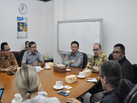
According to M. Akbar, Head of Jakarta Transportation Department, the cooperation with Google Waze has been started since September 9, 2014. Jakarta is the first city of the tenth that hold collaboration after Rio de Janeiro, Barcelona, Tel Aviv, San Jose (Costa Rica), Boston, Los Angeles, New York, Utah, and Florida.
"The cooperation is related to the transfer data owned by Jakarta Transportation Department and Google Waze, thus people get the latest information and can respond to it. For instance, the Transportation Sub-Department has a data speed of traffic in each road, the data will be sent to Waze, then people who use the app will know which roads are smooth and jammed," he stated, at City Hall, Tuesday (11/11).
Additionally, he furthered, people can also find out information about road closure and so on. "The city administration nd Google Waze have signed a contract on September 9 for the exchange of data and they come to discuss it in more detail," he expressed.
Conneted Citizen Program Manager Google Waze, Paige Fitgerald, disclosed that Jakarta can work quickly through such cooperation. The way is to respond to a report from the public. "We want to exchange data thus can use the Transportation Department's data. Fortunately, the city administration can work faster with reports from the public," he disclosed.
As known, Waze is a free navigation software for cell phone and PC tablet that have GPS. It can be downloaded from any country, including Indonesia, yet the base map for Indonesia is not yet available thus the user contribution is prioritized. In contrast to navigation software, Waze provides information and map based on user community input.
Information on accident, congestion, police, and dangerous is compliance with the real condition reported by users. Waze users called as wazers can also update the map, numbering house or buildings, marking the location personally and directly. The device also has a chat facility, giving points for every activity like browsing, updating map, and other events.