Flood Points in Kemang Are the Basin
Reported by Erna Martiyanti | Translated by Nugroho Adibrata
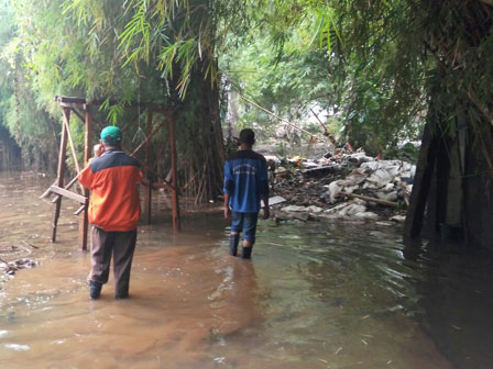
Kemang area, South Jakarta that flooded on Saturday (8/27) night is categorized as a basin area. Thus water cannot flow fluently, especially in heavy rain.
Logically, southern is high and northern is low. Although there is no rob (tidal wave), water just passes. But our problem is south side in Kemang, it is a basin area
"Logically, southern is high and northern is low. Although there is no rob (tidal wave), water just passes. But our problem is south side in Kemang, it is a basin area," said Jakarta Governor, Basuki T Purnama, at City Hall, Monday (8/29).
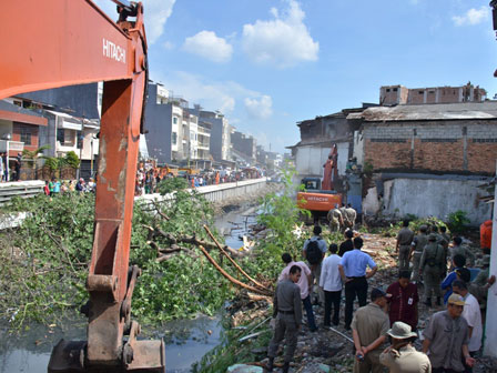
Basuki would investigate buildings standing on the mouth of the river. Because it's only housing, but also hotels. "We'll check it out, why hotel could stand on the Krukut River," he told.
City to Normalize Krukut RiverAccording to him, the river wide was 25 meters, and now only leaves 5 meters. "This must be resolved. This involves a lot of people," he uttered.
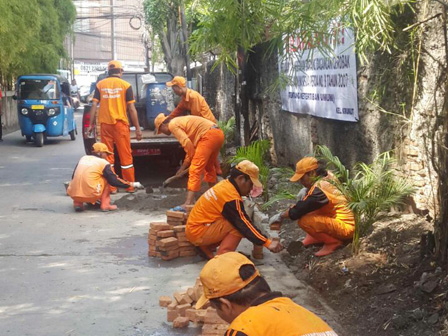
As planned, the city administration would normalize such area. His party will acquire lands belong to locals. Because they already have the ownership certificate (SHM).