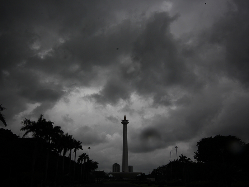
BMKG Warns of Potential High Rainfall in Jakarta
Reported by Dessy Suciati | Translated by Nugroho Adibrata
The Meteorology, Climatology, and Geophysics Agency (BMKG) has warned the public to be more alert to the potential for moderate to heavy rain in the next week.
People are urged to increase vigilance
As quoted by BMKG's official site on Wednesday (1/22), this condition triggers the risk of hydrometeorological disasters, including floods, landslides, and fallen trees.
Therefore, people are urged to increase vigilance and monitor the BMKG's latest weather information.
Cyclone Seed 97S to Increase Rainfall, BMKG SaysBMKG predicts that moderate-intensity rain with lightning and strong winds could hit Jakarta from January 21 to 23, 2025. Then, from January 24 to 27, moderate to heavy rain with lightning and strong winds could hit Jakarta.
In the coming week, BMKG will monitor various atmospheric phenomena that are predicted to affect the weather in Indonesia.
There is an Asian Monsoon wind that still dominates the Indonesian region accompanied by a weak La Nina phenomenon. Atmospheric waves are still the main factor for rain in Indonesia.
Like the Equatorial Rossby Wave phenomenon which propagates westward, it is observed to be active in the Indian Ocean west of Sumatra Island to the south of NTT, most of Sumatra Island, Riau Islands, Natuna Sea, Bangka Belitung, Java Sea, Java Island, Bali, NTB, NTT, Sea Flores, South Sulawesi, Southeast Sulawesi, Central Sulawesi, Flores Sea, Banda Sea, Maluku, North Maluku, Southwest Papua, West Papua, Papua Central, Papua, and Mountain Papua.
As for Kelvin Waves propagating eastward are reportedly active in Indian Ocean west of Aceh, Arafura Sea, and South Papua. The OLR analysis also shows a negative value so the potential for rain is increasingly significant.
Then, cyclonic circulation is detected in the western waters of Aceh, Karimata Strait, and NTT-Timor Sea, contributing to the dynamics of the Indonesian atmosphere, especially in Sumatra and Nusa Tenggara regions in the next few days.
Then other convergence areas are predictably to extend from the western waters of Bengkulu to southern Java, from the northern waters of Papua to North Sulawesi, in the northern waters of the Papua Islands, and from Central Papua to Papua New Guinea. In addition, wind confluence areas are monitored in central and southern Sumatra, the west coast of Sumatra, western Java, and the southern waters of Java.
These conditions can increase the potential for rain cloud growth and sea wave heights around cyclonic circulation areas and along areas of convergence/confluence.
Based on atmospheric conditions, it shows strong lability which supports convective processes on a local scale in North Sumatra, West Sumatra, Riau Islands, Jambi, Bangka Belitung Islands, Central Java, East Java, Bali, NTB, NTT, West Kalimantan, Central Kalimantan, North Kalimantan, North Sulawesi, Gorontalo, Central Sulawesi, West Sulawesi, South Sulawesi, Southeast Sulawesi, North Maluku, Maluku, and most Papua Islands.
Facing the potential for extreme weather, BMKG urges the public to be aware of the possibility of heavy rain accompanied by lightning and to be careful of slippery roads that have the potential to endanger safety.
People are also urged to be prepared to face potential hydrometeorological disasters, such as floods, flash floods, and landslides, which can occur at any time.
For information on the latest weather developments, residents can access it via official BMKG channels, such as BMKG.go.id social media site @infobmkg, or infoBMKG application.
