Measurement for RDTR-PZ in Kalijodo Is Completed
Reported by Jhon Syah Putra Kaban | Translated by Nugroho Adibrata
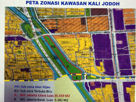
Jakarta Spatial Planning Dept has completed the measurement process of Detail Spatial Plan and Zoning Regulations (RDTR-PZ) in Kalijodo. The measurement results will be used as a reference for park construction and its facilities.
The map is already done. Before park construction, we have to do measurement first. Thus its concept can be known, such as design and its construction cost
Gentur Wisnubaroto, Section Head of Planning and Spatial Pattern Evaluation for Jakarta Spatial Planning Dept said the measurement and mapping is done to know the construction concept.
"The map is already done. Before park construction, we have to do measurement first. Thus its concept can be known, such as design and its construction cost," he expressed, Wednesday (3/16).
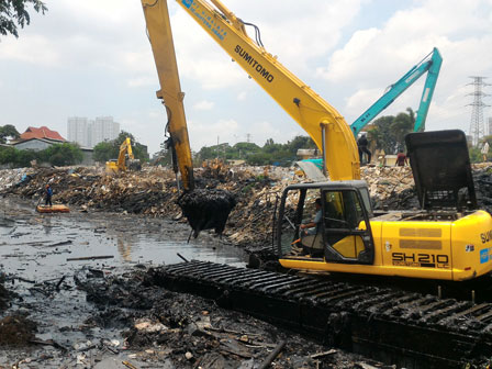
Road Access in Kalijodo ElevatedLater on, Kalijodo on the edge of Jalan Bidara Raya, its river will be widened to 18 meters. Likewise with the channels of Krendang River toward the West Flood Canal (KBB) will be widened to 20 meters.
"Next, the construction will involve related unit," he finished.

