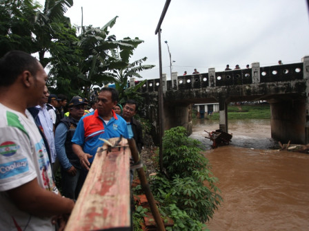
Flood Control, Seven Officers Began to Measure Setu Reservoir's Water Level
Reported by Nurito | Translated by Nugroho Adibrata
It is done to find out the thickness of the mud in the reservoir
East Jakarta Water Resources Sub-agency Head Santo said the measurement itself was carried out for the first time on July 30, 2020. Its process by becoming a result in the form of a report would take more than 14 to 21 working days.
South Jakarta Eyeing 10 Urban Villages as Pilot Projects"It is done to find out the thickness of the mud in the reservoir," he expressed, Tuesday (8/11).
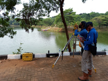
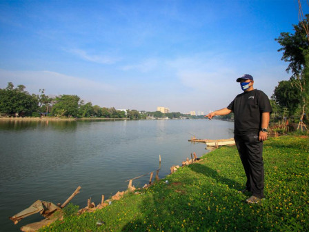
To tackle inundation and flooding in Jakarta, especially in relation to the flow system of river and reservoir in Setu Urban Village area, Cipayung Sub-district, East Jakarta, the officers measured the topography and MC.0 conditions of the existing reservoir, the water level and the reservoir bottom to get the wet, dry and reservoir capacity.
Hopefully it could produce references/guidelines for inundation/flood management in the area. The action would be done with a preliminary survey to determine the measurement boundaries, and then the measurement began with topographic measurements and the depth of the reservoir using the total station tool.
"Thus far the measurement results are not yet known. If we already have it, we will soon dredge the reservoir, this is for flood control," he stated.

