Anticipating Landslide, BPBD Urges People to Be More Vigilant By Knowing the Signs
Reported by Aldi Geri Lumban Tobing | Translated by Maria Inggita
The Jakarta Disaster Mitigation Agency (BPBD) has released some regions in Jakarta that have a potential for landslides.
Throughout 2017 to 2021, there are total 57 landslides across Jakarta
Based on information obtained from the Center for Volcanology and Geological Hazard Mitigation (PVBMG) of the Ministry of Energy and Mineral Resources (ESDM) at vsi.esdm.go.id, there are 8 sub-districts in South Jakarta and 2 sub-districts in East Jakarta that must be aware of the potential for ground movement this month.
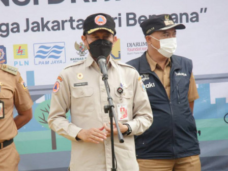
Jakarta BPBD Head Isnawa Adapun stated PVMBG released information on potential ground movement in Jakarta every month by analyzing rainfall data issued by BMKG which was adapted by BPBD to be later informed to the public.
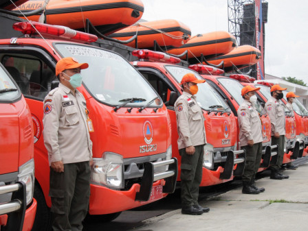
Welcoming HKB 2022, BPBD Holds Collaborative Fire Prevention Operation"Throughout 2017 to 2021, there are a total of 57 landslides across Jakarta," he said in Gambir, Central Jakarta as quoted from Jakarta PPID Press Release, Tuesday (4/5).
Furthermore, he continued, most landslides occurred due to the high intensity of rainfall in locations around rivers. Most occurred in South Jakarta (34 incidents) and East Jakarta (21 incidents). The highest incidence was in Srengseng Sawah (6 incidents) and Ciganjur (4 incidents).
"Information released every month doesn't mean the entire area of a sub-district is categorized as vulnerable, but only in certain areas that are vulnerable, such as slopes along riverbanks. People don't need to panic, but remain vigilant," he asserted.
Identifying the Signs and Anticipating Landslide
Soil movement or commonly called a landslide is an event of displacement of slope-forming material (in form of soil, rock, heap material, or a mixture of them) that moves down or out the slope.
Landslides could occur due to various triggers such as rainfall, earthquakes, erosion, and human activities.
People could know the characteristics of landslides in the vicinity, such as the presence of a layer of soil/rock that slopes outward, soil cracks that form horseshoes, water seepage on the slopes, and trees with curved trunks, and the slope becomes steep.
To anticipate landslides, Jakarta BPBD urged people to not build a house on/under/near the cliff or the river, not to cut down trees around the slopes, and to avoid building ponds or rice fields on the slopes.
His side had coordinated with PVBMG regarding this phenomenon. He encouraged mapping with a larger/more detailed scale at 1:25,000 or even 1:10,000 because PVBMG has currently released an early warning map of potential ground movement at a scale of 1:50,000.
Besides he also encouraged relevant stakeholders to formulate a structural mitigation strategy to reduce disaster risks that could happen at any time.